
On the edge of the former mediaeval town, partly on grounds of the successive fortificafions, there were several places without a specific function. A few of them survived, be it in a different outline and with a new use, including Mineurplein and two little squares on both sides of Weverskat (all parking lots now). At the junction of Van der Rijtstraat and Williamstraat we find Korenbeursplein, also many years a car park.
Korenbeurs means grain exchange. Before, it was a place where waggons and carts were parked. Further back in time this was the location of respectively an Alexian convent, an orphanage and an army depot. In 2014 Korenbeursplein was restyled. Nowadays it's part of the weekly market.

Korenbeursplein in 2009. Photo: Thom van Amsterdam (commissioned by daily BN/De Stem).

Compared to the nearby Market Square, Korenbeursplein looks like a village brink. The most striking structure is this slightly decrepit building. Older inhabitants will remember café De Dikke Boom (literally: the thick tree) was located here.

The tree before...

...and after.

The work 'Zaden' or 'Seeds' by artist Karin Colen consist of seven solid stones. Name, shape and colour refer of course to the above-mentioned grain exchange.
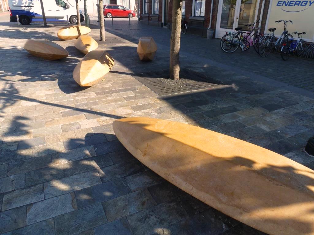
The symbols of fertility are also meant to provide sitting space. The work was established in 2014.

One of the objectives of the local authorities for the square is a concentration of mediterranean restaurants and shops to bring some life to the place, which has never really been an animated spot. So far a Turkish bakery and a Moroccan butcher/grocery located themselves here.

This modest building on the corner of Korenbeursstraat comprises a house and a studio to attract artists. It was recently renovated by Stichting Stadsherstel, a foundation active in the field of urban renewal, especially in the historic centre, since 1971.

The situation in 1581, before the square was realized. This is a fragment of a map published by G. Braun and F. Hogenberg which was based upon an older map by Jacob van Deventer.

A detail of a map by Joan Blaeu, which was published in Amsterdam in 1649.

A detail of the famous scale-model made by the French in 1748, after their conquest of the town a year before. Historians believe this model and three others of the fortresses in the vincinity (De Roovere, Pinssen and Moermont) were produced by the Nézot studio's in Paris.

According to the map designed by R. van Someren in 1890, Korenbeurs Square (in the middle, between Kettingstraat and Williamstraat) already looked like how we know it today.